 |
||||||
 |
||||||
 |
||||||
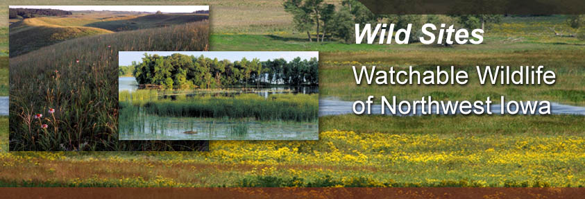
| Anderson Prairie Complex
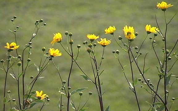
Rolling hills, native prairie, flood plain, restored wetlands, savanna and timbered areas – an abundance of habitat types and a beautiful vista greets visitors to this area. Three parcels – Ringham Habitat, Crim Savanna and Anderson Prairie adjoined to make up approximately 900 acres of habitat. Prairie History This historic site includes a Native American burial grounds dating from the Stone Tool Age. A one mile loop trail passes through prairie grasses and flowers and around some of the mounds. An ancient village site was also found on site. As you stand along the banks of the Des Moines River you can understand why this would be an ideal location for native people to use as a home. Location Description These areas are made up of prairie pot-hole, upland, and flood plain area adjacent to the West Fork of the Des Moines River. The timber area contains hickory, green ash, and ironwood trees. The pristine prairie has kittentails, prairie bush clover and many more prairie species. The river holds northerns, walleye, and catfish. In the timber, look for warblers and Pileated Woodpecker. Also in the area are Henslow Sparrow, nesting Clay Colored Sparrow, eagle, and raptors. Pheasant, partridge, rabbit, deer and squirrels live in the area. Hunting is allowed. Driving Directions and other Information
Educational Activity:
|
||||||
| View Anderson Prairie Complex via Google Map by Clicking HERE!
(Please disable your browser's popup blocker before viewing map) |
||||||
| Take a short visit to Anderson Prairie via video below! | ||||||