 |
|||||||
 |
|||||||
 |
|||||||
| Freda Haffner Kettlehole
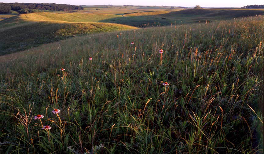
What appears to be a vast hillside prairie holds unseen potential. Enter the property through the small gate and set off along the worn footpath. (Be sure to stop and sign the visitor log. It's great to see the comments of the many people who visit the area.) As you crest the hill, be prepared for a great surprise! Geological History This kettle was created when an isolated, partially buried pocket of ice, melted slowly in place after the main ice sheet was gone. The steep sided bowl shaped depression has no surface drainage outlet; so the water level fluctuates in response to precipitation. The Little Sioux River, to the west, flowed beneath the stagnant glacial ice along this segment of its course. Location Description Vegetation within the kettle grows within distinct zones reflecting the changes in water conditions from wet at the bottom to dry at the top. In periods of very wet conditions, water may actually pool in the bottom of the kettle. Most years, Iris, New Jersey Tea, Swamp Milkweed and Canada Anemone - among others (typical plants who prefer moisture), grow in the bottom of the kettle. The lower regions also provide space for frogs of all sorts and sizes! Watch them leaping out of your path or stand still and listen to their music from spring through midsummer! Some midsummer plants on the slopes include a multitude of prairie grasses, Prairie cinquefoil, Silky aster, Lead plant and Culver's root. Driving Directions and other Information
|
|||||||
|
Educational Box |
|||||||
|
To View Freda Haffner via Google Map - Click HERE (Please disable your browser's popup blocker to view map) |
|||||||
|
|
|||||||