 |
|||||||||||||||||||||
 |
|||||||||||||||||||||
 |
|||||||||||||||||||||
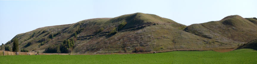
| Hanging Valley
Seen from Hwy 10 this ridge is visible 1/3 of the way down the hillside on a ridge to the south of the highway. Walking along the Hanging Valley is another experience altogether. To find the hanging valley, you must park at the Waterman Wildlife Area and walk cross country over the hillside. Stop to enjoy the variety of prairie plants and flowers carpeting the hillside. Once you have stepped onto the hanging valley it appears that you are walking along an old tractor road. This is actually the bed of an old river. Walking along you come to a sudden stop as the riverbed drops to its current location 50 feet below you! Geological History The Little Sioux River is one of the few in Iowa to run for any length of time from east to west. Long ago this river headed mainly south and east and was destined to join up with the Mississippi River. Glacial melt water changed its course! After the last glacier receded, melt water which was bottled up near the present day city of Spencer, burst out of its holding place and rushed across the land. This sudden erosion activity changed the course of the Little Sioux River. The river now flows mainly south and west and joins up with the Missouri River near Onawa. Not only did the course of the Little Sioux River change, but also other smaller creeks in the area. The river bed forming the Hanging Valley flowed from the Northeast to Southwest. As you can see from the vantage point on the hill the river flows the opposite direction now. Enjoy the view from this location! Location Description A wide variety of prairie plants can be seen on this native and restored site. Prairie management has been intense on this site as cedar tree removal has restored the prairie to its original plant community. The Little Sioux River Valley and the Waterman Creek Valley to the north are a important interior flyway for migrating raptors. On sunny days in September, over 400 raptors a day migrate through the valley. Eagles can be seen soaring through the valley throughout the winter. Driving Directions and other Information
|
|||||||||||||||||||||
|
Educational Activity: |
|||||||||||||||||||||
|
View Hanging Valley via Google Map by Clicking HERE! (Please disable your browser's popup blocker to view map) |
|||||||||||||||||||||
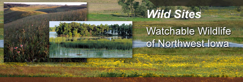
| Wild Categories | Photo Gallery | ||||||||||||||||||||