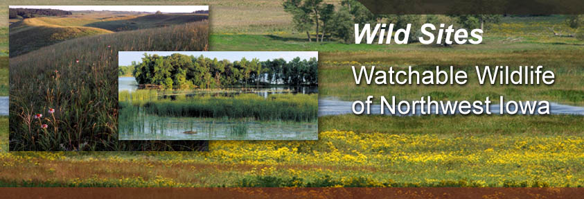
 |
|||||||
 |
|||||||
 |
 |
||||||
| Des Moines River Complex
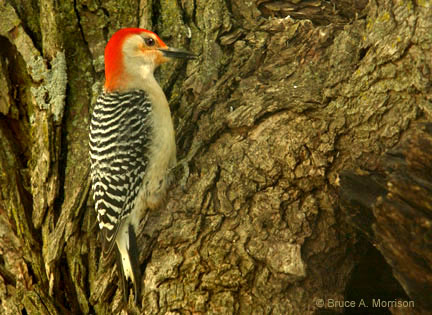
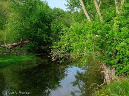
River Corridor Northeast Pocahontas County is intersected by the West Branch of the Des Moines River. Conservation areas along the river include Millers, Struthers, Hams, Schlensig, and Martin Wildlife Areas along with Stern’s Woods. You may put in your canoe at the Hams Bridge Access or the Bradgate Bridge. However, some experience is needed to maneuver the rock riffle areas. Fishing is good for channel catfish, northern pike, and smallmouth bass. Hunting areas are posted. Watch for Bald Eagles, and a variety of ducks, geese, hawks, and swallows. If you’re lucky, you might glimpse River Otter at play along the banks. Location Description The Hams Bridge Access is located 2 miles N of Rolfe on Hwy. 15 and 3 miles E on 440th Street. To reach the Bradgate Bridge, travel 4 miles E of Rolfe on C26.
Educational Activity
|
|||||||
| Visit Des Moines River Complex via Google Map by Clicking HERE!
(Please disable your browser's popup blocker before viewing map) |
|||||||
|
Take a short visit to Des Moines River Complex via the video below! |
|||||||
| Wild Categories | Photo Gallery | ||||||||||||||||