 |
|||||||||||||||||||||||||
 |
|||||||||||||||||||||||||
 |
|||||||||||||||||||||||||
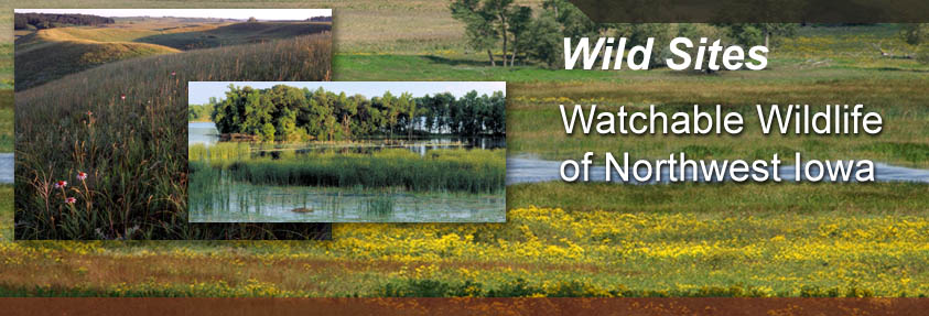
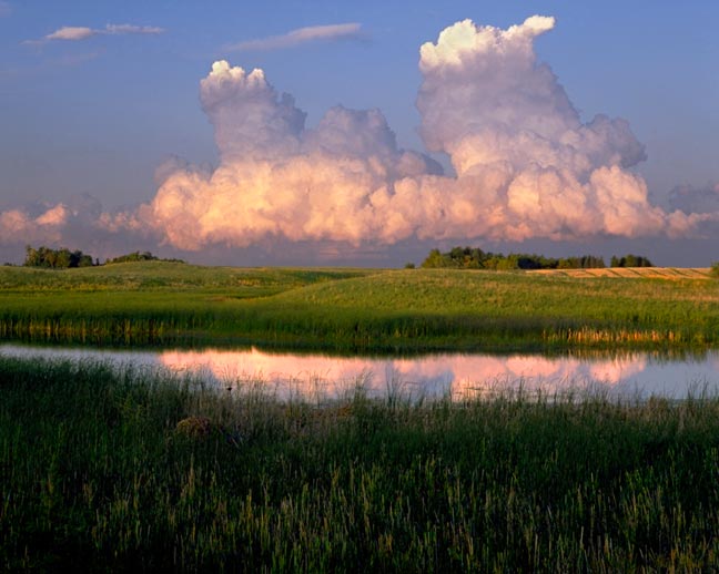
| Spring Run
Wetland complexes of this size and diversity give us an idea of how the prairie pothole region may have looked and functioned when Euro-American settlers first came to Northwest Iowa. This site is one of the largest Waterfowl Production Areas in the state. Pothole Birding This vast complex has lake, marsh and upland areas. The water quality is excellent, and it provides habitat for a variety of species. Spring Run is a designated bird conservation area with a wide diversity of nesting areas. In the marshes, you will find Blue-winged Teal, Redhead Duck, Yellow-headed Blackbird, Swamp Sparrow, Marsh Wren, Common Yellowthroat and Virginia and Sora Rail nesting. Declining grassland species such as Bobolink, Marsh and Sedge Wren and Northern Harrier are found here. The restored and native prairie has a nice variety of flowers. Location Description This vast complex has several roads intersecting the area. Visitors have a chance to see a wide variety of birds from their cars as they travel slowly through the area. The Dickinson County Conservation Board maintains a set of shooting ranges on the site which are open to the general public. |
|||||||||||||||||||||||||
|
Driving Directions and other Information
|
|||||||||||||||||||||||||
| Educational Activity:
|
|||||||||||||||||||||||||
| Visit Spring Run via Google Map by Clicking HERE!
(Please disable your browser's popup blocker before viewing map) |
|||||||||||||||||||||||||
|
|
|||||||||||||||||||||||||
| Wild Categories | Photo Gallery | ||||||||||||||||||||||||